Project Evineyard
File
2012
Agriculture
Universidad de la Rioja, la asociación Grupo Rioja, Ager Technology, Phoscode, Bodegas Ontañón, Grupo Domecq y Encore-lab
Global Positioning System (GPS), Field Sensors, Georeferenced Information System (GIS), Unmanned Aerial Vehicles.
Project description
Development of a continuous vineyard monitoring system using field sensors and unmanned flights to predict diseases and pes
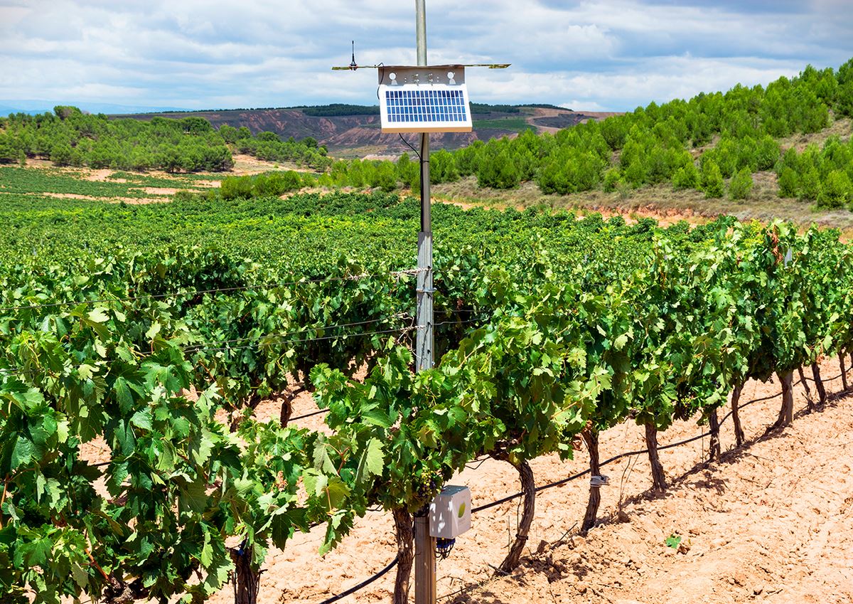
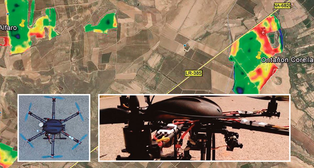
The project aims at continuous monitoring through the acquisition of agro-climatic data and the taking of aerial photos by remotely controlled drones. All the information obtained is subsequently evaluated by applying risk indicators for certain diseases or deficiencies in the vineyard. The developed tool is intended to support decision making in the field, such as pesticide application, irrigation, nutrient use, etc.
Reply from Encore-Lab
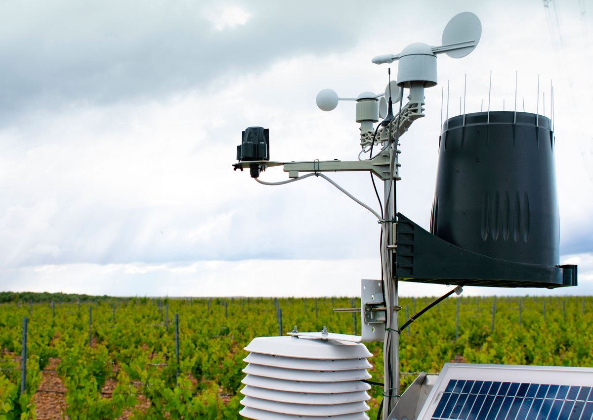
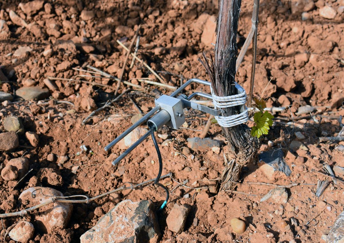
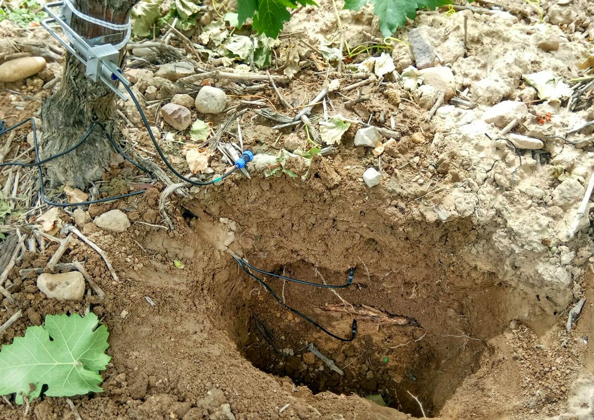
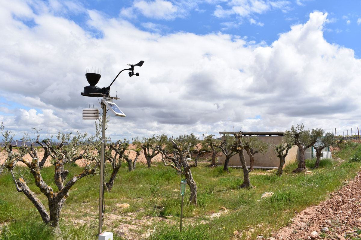
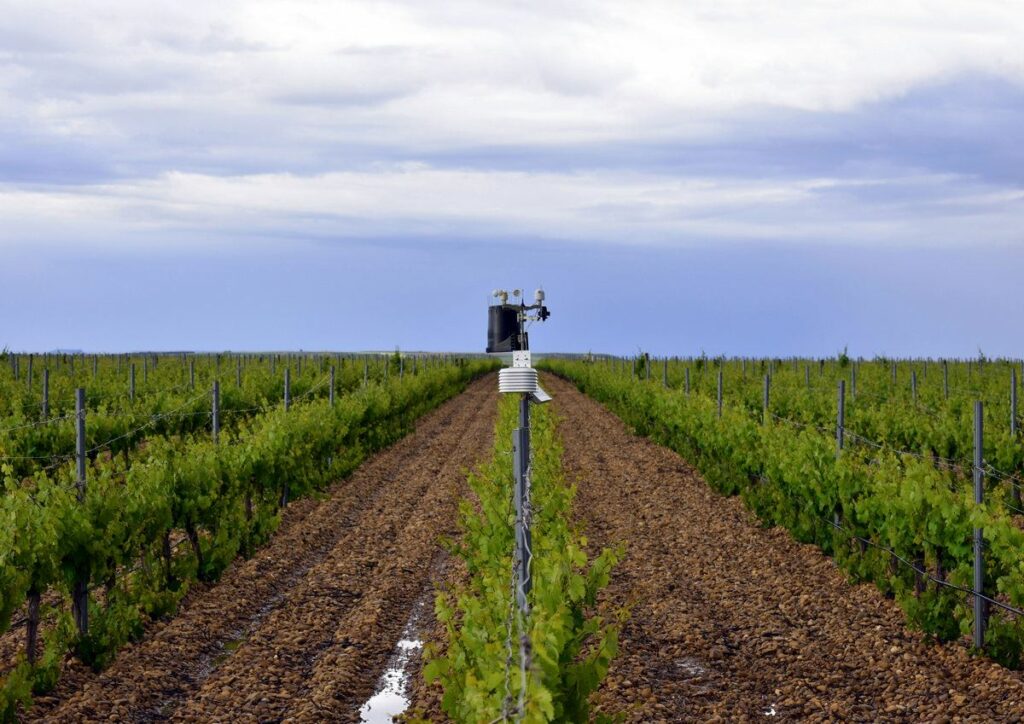
Encore-Lab will be in charge of developing the network of field sensors and meteorological stations that will enable the collection of precise and constant information on the atmospheric parameters of the plots and the state of the weather.
the vineyards.
Results
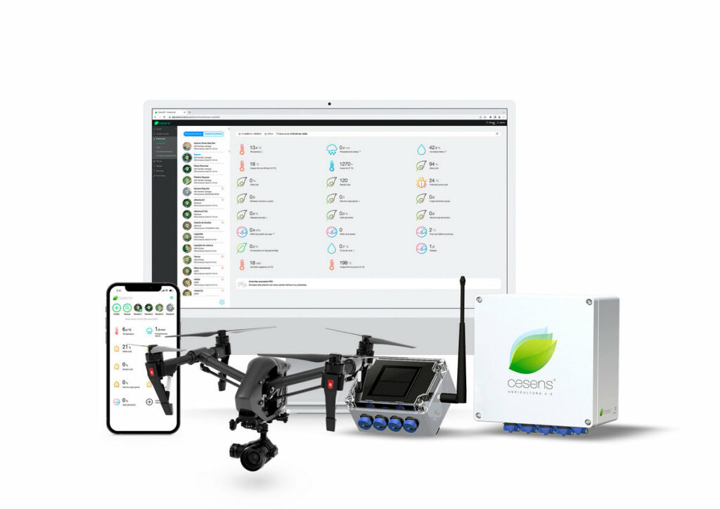
Development of a comprehensive monitoring system for vineyards that facilitates agronomic decision-making for winery field managers through the use of cutting-edge, low-cost technologies, the information collected is integrated into a GIS platform with Web access for simple management and universal accessibility through any device with an Internet connection.
With a consequent improvement in vineyard productivity, grape quality and the cost of acquiring aerial images of the plots by replacing the purchase of satellite images with high-resolution captures of the vineyards taken from drones.
